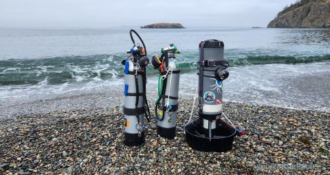
Visiting Northwest Island (Rosario)
Northwest Island is a rocky prow guarding the lovely bay at Rosario Beach, and conveniently exposed to the flushing waters of Rosario Strait. It is roughly 500 metres (~1600 feet) away from the beach (heading approx. 280º), which in the old golden ages of diving ambitions, meant a long swim or a short kayak for those not fortunate to have a proper dive boat.
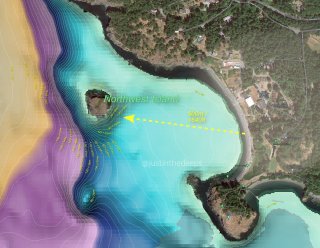
justinthedeeps.com
Bob at Anacortes Diving and Supply used to swim out there and said it takes “looong time.” I believe this is also regular boat dive for local research institutes like the Rosario Beach Marine Labs.
Today, an economical DPV like the Dive Xtras Blackip (Tech) is probably easiest and most affordable way to dive this site. I have found this DPV to be more than powerful enough to bring me, my rebreather, and my bailouts readily out there to experience and explore one of the most conveniently reached rock reefs and deep walls in the “San Juan Islands.”
(CC-BY-NC-ND) iNaturalist.org (CC-BY-NC-ND) iNaturalist.org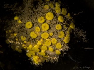
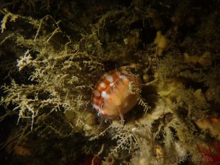
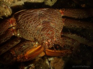
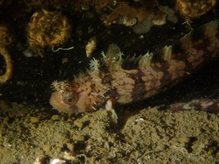
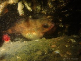
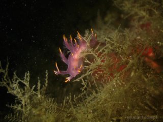
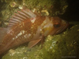
While the deeper sections of this site are subject to a layer of silt characteristic of outflows from the vast sediment banks of the Skagit River delta, the full range of species can be encountered here, including giant pacific octopus, Salish Sea king crabs, and several rockfish species. There are of course plenty of nudibranchs, invertebrates, and sponges to be found as well.
(CC-BY-NC-ND) iNaturalist.org (CC-BY-NC-ND) iNaturalist.org (CC-BY-NC-ND) iNaturalist.org (CC-BY-NC-ND) iNaturalist.org (CC-BY-NC-ND) iNaturalist.org (CC-BY-NC-ND) iNaturalist.org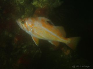
Dive Planning
Tides and Currents
Following Rosario Strait, I dive minor phases of the weak summertime neap tides, when the maximum flood/ebb are both less than 1 knot. Current strength and direction variable with time and depth.
Weather and Sea State
The entry at Rosario Beach, as well as the outside of the island, are fully exposed to winds and waves from the Strait of Juan de Fuca. These often build in strength after midday. Area also prone to marine fog, limiting surface visibility.
Navigation
Separation from beach or island could result in complete disorientation and compass-only navigation. Take a compass heading before submerging. Nothing to follow underwater in the bay. A rocky subsurface isthmus at the north end of the bay connects to the island. Depths shallow until reaching the ~30ft / ~10 metre contour that connects this island to its parent. Large, reflective SMBs strongly recommended, and a signal mirror or other signaling device/beacon.
Other Notes
Beware of boat traffic and fishing activities. Avoid being on surface or surfacing without highly visible marker and listening carefully for active boats.

